The main hikes that people know about in Isle of Skye are:
- Old Man of Storr
- Quiraing
- Fairy Pools
- Neist Point
Bla Bheinn wasn’t on our radar at all. We did not plan to do it as part of our 14-day Scotland campervan trip until we heard rave reviews from our campsite neighbor.
We’re glad we ended up doing it because it was such an epic hike!
Hike Overview

Key Info
I highly recommend downloading the trail on AllTrails and reading the reviews to get an even more comprehensive sense of the hike.
Key Stats
- Type: Out & back
- Distance: 9km
- Elevation gain: 896m
Difficulty
This is a difficult hike. Much more difficult and strenous than Old Man of Storr and Quiraing. I would not attempt this in bad weather or if you are not sure-footed.
- First 1.5km of the hike is an easy walk, but it gets rough after that
- Lots of loose rocks on steep incline makes the descent esepcially tough if your balance is not good
- Trail is often not clear - I strongly recommend downloading a map and navigating with GPS (e.g. on AllTrails)
- Some scrambling required near the top (there was one section where I even needed to activate some basic bouldering skills)
- Long distance and high elevation gain means good stamina required
- There are some small river crossings that may apparently be difficult to cross if there was heavy rain recently (for us there was some light rain the day before and it was fine)
Duration
Most people on AllTrails take 5-6 hours.
We took 7 hours 45 minutes. But that also includes lunch plus non-trivial photo taking time. My wife is not great with her balance which also partly explains why we took longer. Plus we’ve been hiking all-day for the past 3 days and so we were also affected by the fatigue.
Trail Breakdown - Our Experience
We did this hike on 25 April 2024 which is considered near the end of Spring.
Conditions
There was some snow near the top but nothing hazardous.
Thankfully, we did not experience any midges. Apparently they are common in summer.
The weather was mostly sunny and clear. It got more windy during our descent and there was some light rain. But nothing too crazy.
Parking lot
The trail starts from the parking lot .
It’s actually a really nice parking lot surrounded by the mountains with views of the lake.

PLUS there is a super clean toilet. It doesn’t have running water but has hand sanitizer provided and peat to cover your stools if you do let them loose! The peat actually makes the toilet smell really good.
And it’s free / donation-based! Which always adds to the good vibes.
Ok enough of the parking lot. Follow the signs to the fence which leads you down a path to the main road. Cross the small bridge and you’ll find a path leading into the mountains.

Easy Start
The first 1.5km was an easy, relatively flat walk. The latter part of it follows a cute stream and passes a small waterfall.


Incline Gets Real + Loose Rocks
After crossing a few streams, the incline starts to become steep with parts of the path turning from stable, big rocks to smaller loose rocks.
Nearer the top, you’ll need to start using your hands.


The trail will also start to become much less clear and you might have to look around yourself to figure out the best path up with the GPS as a guide.
There’s one particular section that needed a bit of basic bouldering skills (basic ability to distribute weight across 3 points and shift them). But once you’ve cleared that it’s an easy walk up to the summit.
Summit
 The summit is marked by one of those pillar summit marker thing. So it’s very clear where it is.
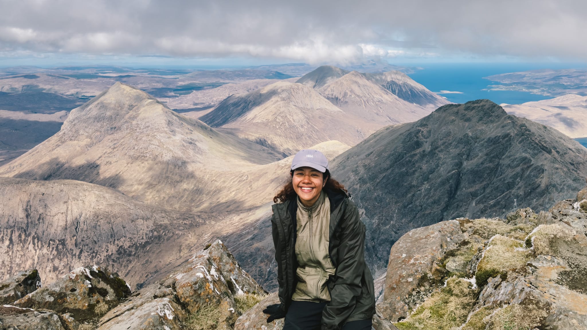
The views were truly magnificent (thankfully the weather was clear enough). You’ll get sweeping views of sea, mountains and islands in all directions.
There’s a good view of the black, craggy Cuillin. My favourite is the the aerial view of Glen Sligachan.


We took the northen approach up because it’s the more popular one and seemed easier from the reviews. Apparently you can take the southern approach down to make the steep incline part of the hike “circular”.
For us, we decided to play it safe and retrace our steps. Mainly because we were expecting the descent to be difficult and wanted to reduce the variables where things can go wrong.
Should you climb Bla Bheinn?
Isle of Skye has so many hikes. Should you devote a day for Bla Bheinn?
I would say yes if you have the time, confidence, and if the weather is good.
I would still prioritise the iconic Old Man of Storr, Quiraing, and Neist Point hikes if you are short for time because the landscape and rock formations are truly unique in a Isle of Skye dramatic way.
If you can make time, Bla Bheinn will be a fantastic addition to your Isle of Skye trip, also because it is so different from those other hikes (for one - those hikes are not summit hikes).
Note: We skipped the Fairy Pools because we heard that it’s underwhelming. So we can’t say if it that’s something to prioritise over.
